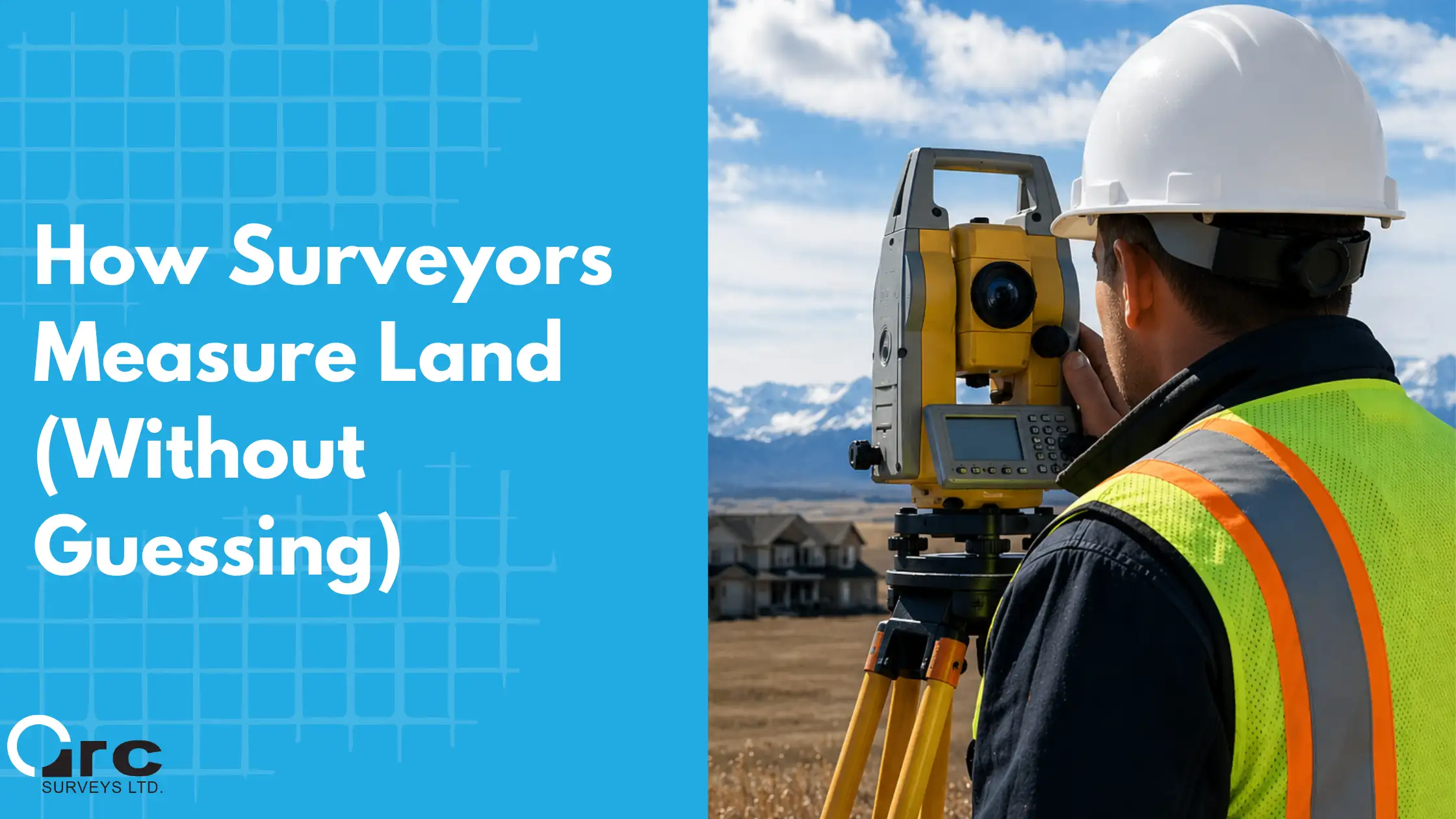
Aerial land surveys were once a difficult and tiresome job, asking surveyors to trek into unmarked lands in order to map the area to gain heights, dimensions, and overall impressions. Certain pieces of information, like contours and earthwork volumetric measurements, were nearly impossible to accurately collect, and relied on skilled surveyors using time-consuming tools and methods.
With the help of technology on our side, land surveys on demanding domains are now more accurate than ever, thanks to Unmanned Aerial Vehicles.
What are UAV Surveys?
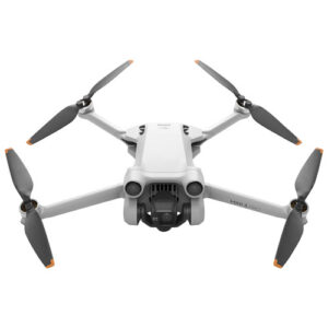
Unmanned Aerial Vehicles, or drones, are autonomous tools used to view and analyze the world from above. Not only can they capture photos and videos of the land from a new angle, but they can collect topographic information about the land as they fly.
Drones have benefits in land surveying that were previously unheard of. The ability to survey an area from above, and gain information about land depth, height, and measurements of specific features, brings surveying to new heights. This information is calculated by state of the art devices, collected using UAV’s and processed using photogrammetry applications with either
 ground control points or GPS RTK assistance.
UAV surveys have seen major impacts in the field of surveying as they can determine precise distances without needing to take physical measurements. Not only as these measurements more reliable than human methods, but they’re faster and safer as well.
UAV surveys are fast and efficient, helping surveyors gain geographic details without needing to do the hands-on work that would have been needed before.
There is no need to send field surveyors into deep excavations or treacherous terrain when now we can simply fly over it.
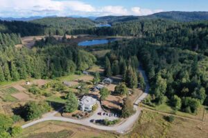
With limitless ambitions about how drones can speed up the survey process, mapping 3-dimensional models from above is a scalable option. The details provided from UAV surveys are in-depth and provide a range of measurements that help understand a parcel of land for exhaustive real estate examination.
What are the most common UAV surveys?
Two types of drone surveys stand out among the rest. By offering high-detail photos resistant to distortion and 3D models with detailed measurements, these methods of land survey can save you time and money.
Topographic Surveys
Topography surveys gather information about the land layout, analyze data from multiple drones, and reduce the time needed to create a model of the land. They typically utilize more than one drone to gather information from various points and distances, merging them into a single set of exact data.
Not only do topography surveys make the survey process safer and easier, but millions of information points are collected and calibrated to create accurate contour maps. Add custom features, 3D designs and models to existing ground data to bring your design to life and an element of realism not available in past methods.
Volumetric Calculations
Volumes are a breeze when dealing with large complex areas that would have required long hours of field survey. Gather surface information at regular intervals on your project and have the imagery to provide proof of the terrain as it existed at the time of the survey.
Aerial Mapping Surveys
Aerial surveys done by drones offer a different type of advantage. Aerial mapping lays out a clear picture of the land with high definition photography. Sensors with 20-48 Megapixel cameras can delivery stunning clarity and centimeter level resolution on even the largest areas. The elevated angle of aerial mapping surveys offers a perspective different to surveys done on the ground, and can give a more comprehensive impression of the land. This can be helpful when analyzing parcels of land and making decisions for potential developments or planning complex activities. Not only do you have high definition of the land itself but also what surrounds the area and what the potential land already looks like.
Videography
Looking to sell that beautiful acreage with the amazing mountain view? UAV’s equipped with 4K video cameras and specific lighting filters can deliver jaw dropping cinematography that will make any property seem larger than life. Smooth capture and unique angles allow potential buyers to view any perspective property in ways not previously available.
Perhaps you’d like an aerial flyover of your business to showcase on your company website. From event cinematography to detailed inspection surveys for infrastructure, videography from UAV’s unlocks capabilities not previously available with an unheralded level of detail.
To Summarize
Drone surveying and mapping is a powerful tool with unique advantages to offer in the real estate space. More time and money efficient, older practices are being replaced with UAV services that offer better, more accurate, surveys of land. From topography surveys gathering contour information to aerial surveys taking elevated photos, drones are tools that give accurate data and can help make land surveys more reliable in tough conditions.
Arc Surveys
Have any further questions regarding UAV Surveys? Give us a call (403-277-1272) or drop us an email at [email protected]. We’ll help you get a better understanding on how to get the best information towards completing your next survey project.