A refused development permit doesn’t just mean paperwork. It means delays. It means a project that’s been planned for months gets put on hold while the application is reworked, resubmitted, and queued again. In Calgary’s construction market, where permit backlogs are real and every week of delay carries a cost, that’s a problem nobody wants to deal with.
The frustrating thing is that most development permit refusals are preventable. The City of Calgary’s review process is structured, well-documented, and based on rules that don’t change from project to project. When applications fail, it’s almost always for the same handful of reasons, and the majority of them come down to inaccurate, incomplete, or missing site information.
This article walks through some of the most common reasons development permits get rejected in Calgary, what the City is actually checking at each stage, and how a professional development permit survey stops most of these problems before they reach a file manager’s desk.
How Calgary’s Development Permit Review Process Works
Before getting into what causes rejections, it helps to understand how the review process is structured. When you submit a development permit application to the City of Calgary, it goes through several stages:
- Pre-screening: The application is reviewed for completeness as soon as it’s assigned to a file manager. If required documents or information are missing, you’re notified and given 30 days to submit them. Applications that remain incomplete after 30 days may be refused, with a 100% fee refund.
- Circulation: The proposed development may be circulated to internal City departments such as Building Safety, Roads, and Parks, as well as external stakeholders, for review and comment.
- Bylaw review: Your plans are cross-referenced against the Land Use Bylaw 1P2007, Calgary’s governing document for all development rules. Setbacks, lot coverage, building height, parking, and use type are all checked here.
- Detailed review: The file manager prepares a written review outlining any changes required. This is your last chance to address issues before a decision is made.
- Decision: The application is either approved (with or without conditions), approved with a relaxation, or refused. If refused, you receive written notification of the reasons. You have 21 days to appeal to the Subdivision and Development Appeal Board (SDAB).
Under Calgary’s Land Use Bylaw 1P2007, the Development Authority must approve a development permit application for a permitted use if it complies with all applicable rules. If it doesn’t comply, the Authority may refuse it or approve it with a relaxation. The burden is on the applicant to demonstrate compliance.
City of Calgary , Development Permit Process
City of Calgary , Land Use Bylaw 1P2007
6 Reasons Development Permits Get Rejected in Calgary
These are the most common, most preventable causes of refusal, and the reason a professional survey matters at the application stage.
| 1.Inaccurate or missing site plan | |
| The site plan is the foundation of your application. It must show the municipal address, legal address, all existing and proposed elements clearly labelled, property boundaries, structure locations, setback dimensions, and lot coverage calculations. If any of these are wrong or absent, the application is flagged immediately at pre-screening. The City’s Development Permit Complete Application Requirement List is specific: all elements must be labelled as either existing or proposed, and cross-sections may be required for retaining walls 1.2m or higher.
How a survey prevents it: A development permit survey, prepared and stamped by a licensed Alberta Land Surveyor, produces a legally verified site plan from actual measured conditions on the ground, not from estimates, online mapping tools, or outdated records. Every dimension is accurate. Every boundary is confirmed. |
| 2.Setback violations, proposed structure too close to a property line | |
| Calgary’s Land Use Bylaw sets minimum setback distances for every zoning district, how far a structure must sit from the front, rear, and side property lines. For example, the minimum front setback in most residential zones is 3.0 metres. A deck more than 0.6m above grade must maintain a 7.5m rear yard setback and a 1.2m side setback. These rules vary by zone. If your site plan shows a proposed structure that doesn’t meet the required setbacks, the application will be refused unless a relaxation is granted, which adds significant time and is not guaranteed.
How a survey prevents it: A development permit survey establishes your actual property boundaries through physical measurement. Without confirmed boundaries, setback calculations are guesswork. Even small errors in assumed lot dimensions can push a proposed structure outside the required setback, a problem that only shows up at review. |
| 3.Lot coverage exceeds the maximum for the zone | |
| Lot coverage, the percentage of the lot area occupied by buildings and structures, is capped under Calgary’s Land Use Bylaw. Each zoning district has its own maximum. Applications that show proposed development exceeding that maximum will be refused or require a relaxation. This is particularly common on narrow infill lots where every square metre counts, and on properties where the applicant has underestimated the footprint of existing structures.
How a survey prevents it: An accurate survey establishes the actual lot area (which may differ from what’s on file) and precisely measures the footprint of all existing structures. This gives you a reliable lot coverage figure before you design your project, not after the City runs the numbers and finds you’re over the limit. |
| 4.Wrong zoning or incorrect use type | |
| Calgary is divided into land use districts, each with its own permitted and discretionary uses. A project that’s permitted in one zone may require a discretionary review, or be outright prohibited, in another. Submitting a development permit application for a use that isn’t allowed in the zone without acknowledging this, or without a concurrent land use redesignation application, results in refusal. Similarly, discretionary uses require the City to exercise judgment, and applications without adequate planning rationale or community notification are frequently refused.
How a survey prevents it: While zoning research is primarily a planning exercise, a development permit survey confirms the property’s legal description and location, which feeds into the correct identification of the applicable zoning district and land use rules. Errors in legal descriptions or addresses can result in a review being conducted against the wrong zone entirely. |
| 5.Incomplete application , missing documents, missing seals, personal information on plans | |
| Calgary introduced a strict 30-day prescreen policy for building permit applications: if required documents aren’t submitted within 30 days of being notified of deficiencies, the application is refused and fees refunded. Required documents include stamped drawings from an architect or engineer where required, a completed application form, payment of fees, and, critically, plans with no personal information on them (the City’s FOIP obligations require this, and failure to comply results in an incomplete application). For development permits, the requirement list also includes restrictive covenants, utility rights-of-way, easements, and City caveats registered on title.
How a survey prevents it: A professional survey package from a licensed land surveyor includes a stamped, properly formatted site plan that meets the City’s submission requirements, with correct legal descriptions, no personal information, and all required elements clearly identified and labelled. |
| 6.Grade and elevation errors, especially on sloped or complex lots | |
| Calgary’s Land Use Bylaw includes specific rules around building height, grade calculations, and drainage. On sloped lots, the way existing grade is measured and documented directly affects the calculated building height and whether floor elevations meet the bylaw. If the grade information on your site plan is wrong, whether because it was estimated or taken from outdated survey data, the City’s review will identify a discrepancy, flag it for correction, or refuse the application if the proposed development appears non-compliant.
How a survey prevents it: A development permit survey on a complex lot includes accurate grade and elevation data from the surveyor’s physical measurements. This is particularly important for infill projects, hillside lots, and any site with significant grade change across the parcel. |
What the City Is Actually Checking on Your Site Plan
When your development permit application reaches the bylaw review group, the City’s planning technicians run a systematic check against Land Use Bylaw 1P2007. For a typical residential or infill application, The following are some of the items under consideration:
- Front, rear, and side setbacks, measured from the proposed structure to each property line
- Lot coverage, the footprint of all proposed and existing buildings as a percentage of total lot area
- Building height, measured according to the bylaw’s specific grade calculation rules
- Parking requirements, number of stalls, dimensions, and access
- Landscaping and soft surface requirements
- Secondary suite setbacks and design requirements, if applicable
- Proximity to easements, rights-of-way, and utility corridors
- Whether proposed uses are permitted or discretionary in the zone
Every one of these checks depends on the accuracy of the site information you’ve submitted. If the property boundaries are wrong, the setback calculations are wrong. If the lot area is wrong, the lot coverage calculation is wrong. If the grade data is off, the building height calculation may be off. Inaccuracy in any single figure can cascade into a refusal.
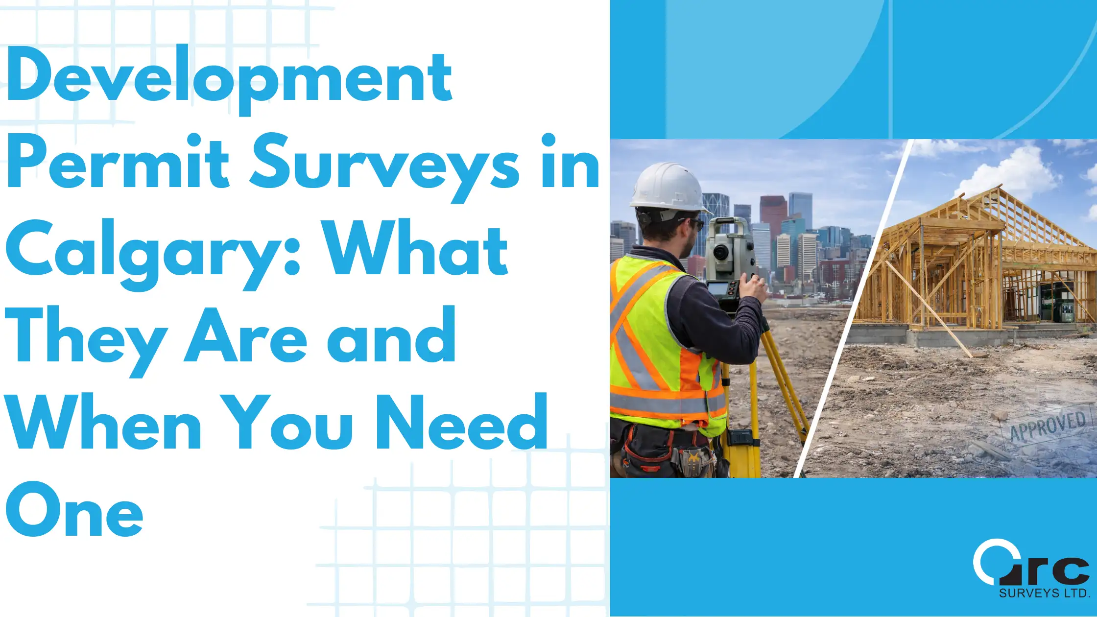
Development Permit Surveys in Calgary: What They Are and When You Need One
The Role of a Development Permit Survey
A development permit survey is prepared by a licensed Alberta Land Surveyor before you submit your application. It gives you a legally verified site plan that documents:
- Your actual property boundaries, confirmed through physical measurement tied to Alberta’s provincial coordinate system
- The location and dimensions of all existing structures on the lot
- Existing grade elevations across the site
- Setback distances from existing structures to each property line
- The current lot coverage of existing improvements
- The location of easements, rights-of-way, and registered encumbrances
With this information in hand before you design your project, your architect or designer is working from verified facts, not assumptions. Setback calculations are accurate. Lot coverage is correct. Grade data reflects the real site. When the City runs its bylaw review, the numbers match.
A development permit survey doesn’t guarantee approval; your project still has to comply with the Land Use Bylaw. What it does guarantee is that your application won’t be refused because the City’s review found your site plan inconsistent with the actual property.
For infill projects in particular, where lots are narrow, setbacks are tight, and the margin for error is small, a survey at the application stage is not a formality. It’s the document that makes the application viable.
Key Benefits of Land Surveying in Calgary Infill Projects
What Happens After a Refusal, and Why Starting Over Is Expensive
If your development permit is refused, you receive written notification of the reasons under the Land Use Bylaw. From there, you have two paths: appeal to the Subdivision and Development Appeal Board (SDAB) within 21 days, or revise your application and resubmit.
An SDAB appeal is a formal hearing process. It takes time, involves preparation of written and oral submissions, and carries no guarantee of success, particularly if the refusal was for non-compliance with a clear bylaw rule rather than a discretionary decision. Most applicants with correctable issues choose to revise and resubmit rather than appeal.
Resubmitting means going back to the start of the queue. In Calgary’s planning system, permit processing times for development permits can range from a few weeks for straightforward applications to several months for complex ones. A refusal and resubmission can add months to a project timeline, and in a market where construction financing, contractor schedules, and seasonal windows all depend on permit timing, that delay has real financial consequences.
The cost of a development permit survey is a fraction of the cost of a refusal. One delay, reworking drawings, resubmitting, waiting in queue again, typically far exceeds what a professional site plan would have cost upfront.
City of Calgary, Development Permit Appeals (SDAB)
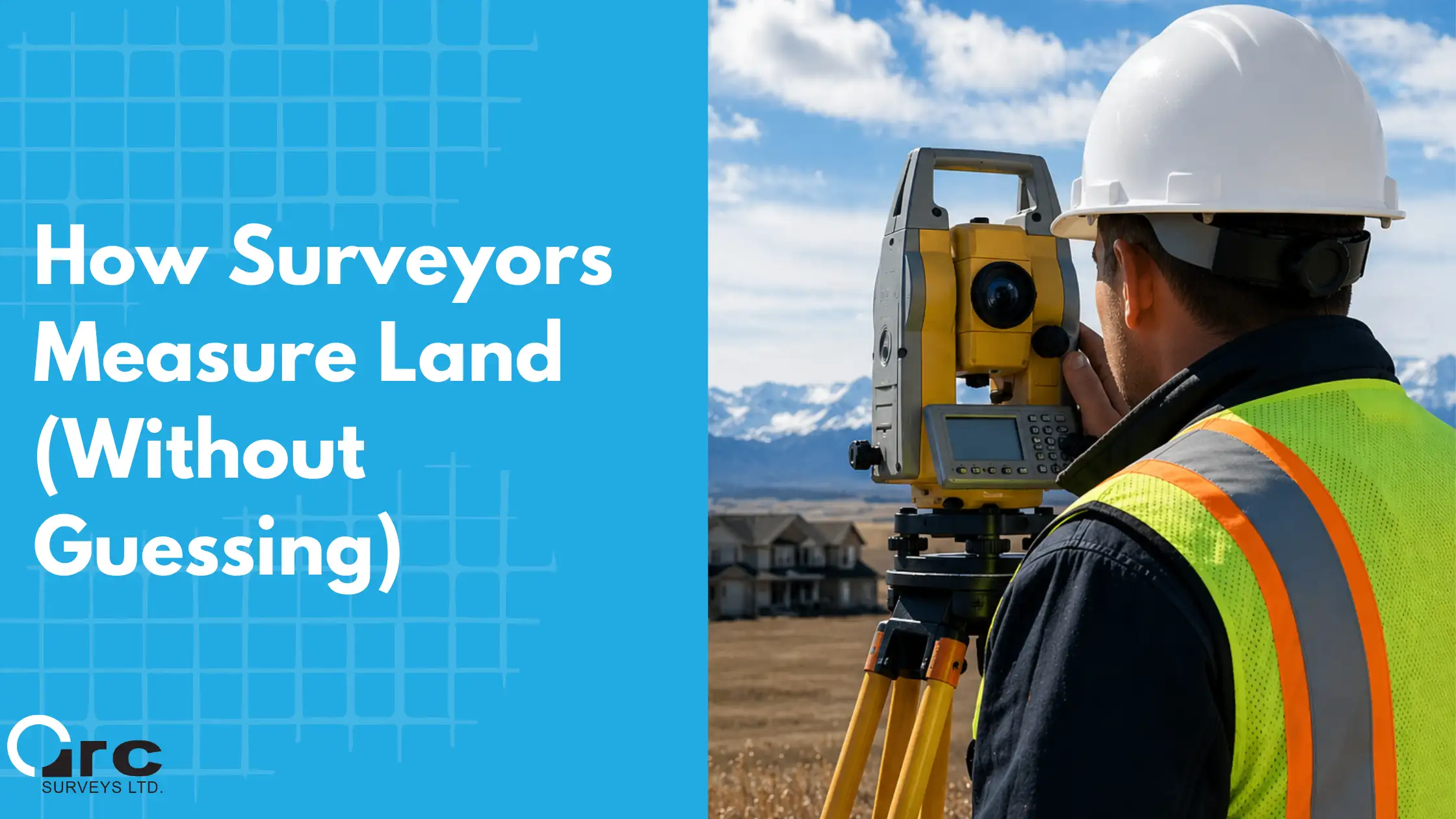
How Surveyors Measure Land (Without Guessing)
Practical Checklist: Before You Submit a Development Permit Application
Use this as a starting point before your application goes to the City:
- Confirm the correct zoning district for your property and what uses are permitted vs. discretionary
- Obtain a development permit survey from a licensed Alberta Land Surveyor, verified property boundaries, existing structure locations, grade data, and setback measurements
- Confirm your proposed building footprint fits within the required setbacks for your zone
- Calculate lot coverage using the surveyor’s confirmed lot area and existing + proposed footprints
- Ensure all plan drawings label elements as existing or proposed
- Remove all personal information from submitted plans (required under FOIP)
- Include all registered easements, rights-of-way, and caveats on title in your application package
- Check whether a concurrent application is required, e.g. a relaxation request if a rule cannot be fully met
Calgary Rezoning Bylaws and Development Permits
City of Calgary, Development Permit Complete Application Requirement List (CARL)
Key Takeaways
- Most development permit refusals in Calgary are preventable; they stem from inaccurate site information, setback violations, lot coverage errors, or incomplete applications
- The City cross-references every application against Calgary’s Land Use Bylaw 1P2007. If the numbers don’t add up, the application fails
- A development permit survey gives you legally verified site data before you design your project, meaning your numbers match the City’s when the bylaw review runs
- A refusal adds months to your project timeline and costs significantly more than the survey that could have prevented it
- Get your survey before you finalize your plans, not after your application is already in the queue
Submitting a Development Permit in Calgary? Start With a Survey.
Arc Surveys prepares development permit surveys for residential, infill, and commercial projects across Calgary, Airdrie, Okotoks, Cochrane, Chestermere, and surrounding municipalities. Our licensed Alberta Land Surveyors produce sealed, City-ready site plans with confirmed property boundaries, existing conditions, grade data, and setback measurements, giving your application the verified foundation it needs to move through the City’s review process without delays.
Get a free quote at ArcSurveys.ca or call 403-277-1272. No obligation, just accurate site information that keeps your project on track.
Frequently Asked Questions
Why do development permits get rejected in Calgary?
The most common reasons are inaccurate or incomplete site plans, setback violations, lot coverage calculations that exceed the zoning maximum, wrong or undocumented use type, missing required documents, and grade or elevation errors. Most refusals are preventable with accurate site information and a complete application package.
What does the City of Calgary check when reviewing a development permit?
The City’s planning team cross-references your application against the Land Use Bylaw 1P2007. They check proposed setbacks from all property lines, lot coverage, building height (based on grade calculations), parking requirements, landscaping compliance, and whether the proposed use is permitted or discretionary in the applicable zone. Every check depends on the accuracy of the site plan you submitted.
How long does it take to get a development permit in Calgary?
Processing times vary based on complexity. Straightforward permitted-use applications may be processed within a few weeks. Discretionary applications, complex sites, or applications requiring circulation to multiple departments can take several months. A refusal and resubmission effectively resets the timeline, which is why getting the application right the first time matters.
Can I appeal a refused development permit in Calgary?
Yes. If your development permit is refused, you have 21 days to file an appeal with the Subdivision and Development Appeal Board (SDAB). The SDAB conducts a formal hearing and may uphold or overturn the refusal. For applications refused because of clear bylaw non-compliance, most applicants choose to revise and resubmit rather than appeal.
Do I need a land survey to apply for a development permit in Calgary?
A development permit survey is not always formally listed as a mandatory document in Calgary’s application requirement list, but it is the most reliable way to produce an accurate site plan, which is required. Without a professional survey, setback calculations, lot coverage, and grade data are based on estimates that frequently contain errors caught during the City’s review. See Development Permit Surveys in Calgary: What They Are and When You Need One for more details.
What is a bylaw relaxation in Calgary?
A bylaw relaxation is a formal request to the City to permit a development that doesn’t fully comply with a specific Land Use Bylaw rule. The City may approve a relaxation at its discretion, but it’s not guaranteed, and the process adds time to your application. Common examples include setbacks that fall short of the required minimum or lot coverage that slightly exceeds the zoning maximum. Relaxations are sometimes appropriate, but designing a project around verified survey data reduces the likelihood of needing one.
What is the difference between a development permit and a building permit in Calgary?
A development permit confirms that a proposed project complies with zoning rules, land use bylaws, and planning policies. A building permit confirms that the construction meets the National Building Code (Alberta Edition) and structural safety requirements. Most construction projects in Calgary require both. The development permit typically comes first.