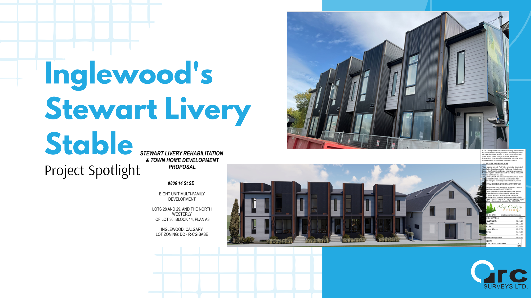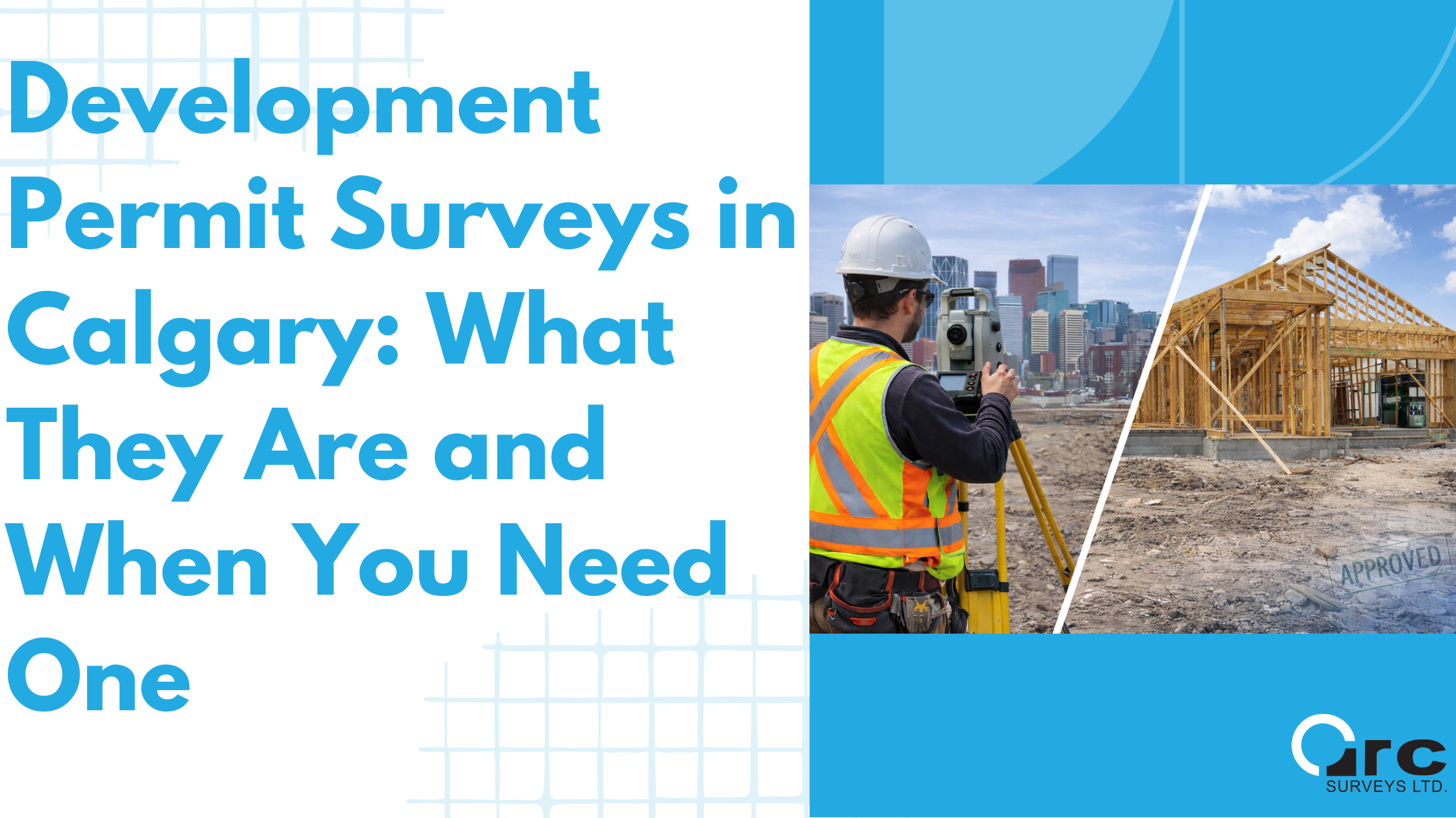
Development Permit Surveys in Calgary: What They Are and When You Need One
When applying for a development permit in Calgary, the City’s review focuses on one fundamental requirement: accurate, clearly presented site information.
A Development Permit Survey provides that information. It establishes verified property conditions so the City of Calgary can evaluate setbacks, building placement, site coverage, and compliance with the Land Use Bylaw.
For many residential, infill, and small-scale development projects, a Development Permit Survey is the technical foundation of a complete and approvable development permit application.
What Is a Development Permit Survey
A Development Permit Survey is a survey-based site plan prepared by an Alberta Land Surveyor specifically for use in a development permit application.
City of Calgary Complete Application Requirement Lists (CARLs) require site plans that are accurate, clearly dimensioned, and based on measured information. A Development Permit Survey meets these requirements by documenting existing site conditions in a format suitable for municipal planning review.
A Development Permit Survey typically shows:
- Property lines and lot dimensions
- Municipal and legal address
- North arrow and scale
- Existing building footprints
- Setbacks measured from property lines
- Easements and utility rights-of-way
- Site information required to evaluate Land Use Bylaw compliance
This survey becomes the base plan used by designers, architects, and City reviewers throughout the permit process.
Why the City of Calgary Requires Survey-Based Site Plans
City of Calgary CARLs consistently require site plans that clearly illustrate existing conditions and demonstrate compliance with applicable planning rules.
When site plans are based on estimates or outdated information, applications are more likely to be deemed incomplete or returned for clarification.
A Development Permit Survey provides confidence that:
- Property boundaries are correctly located
- Setbacks are measured from true lot lines
- Easements and utility rights-of-way are shown in their correct legal positions
- Proposed development is reviewed against verified site conditions
This aligns directly with CARL language requiring clear, legible, and dimensioned site information.
When a Development Permit Survey Is Required in Calgary
A Development Permit Survey is commonly required when a project involves new development, changes to building placement, or detailed evaluation of bylaw compliance.
New Homes and Infill Development
For new residential development and infill projects, a Development Permit Survey is typically required as the starting point for design and submission.
CARLs for low density residential development require site plans that show:
- Property lines and dimensions
- Setbacks to all boundaries
- Building footprints
- Contextual information related to adjacent properties
The survey allows designers and City reviewers to accurately assess setback compliance, site coverage, building placement, and contextual relationships.
Additions, Garages, and Accessory Buildings
Development Permit Surveys are often required for:
- Home additions
- Detached garages
- Backyard suites or garden suites
- Covered decks and accessory structures
These projects commonly require precise measurements when setbacks are limited or when site coverage approaches maximum allowances.
CARLs for these applications typically require dimensioned property lines, clearly labelled existing and proposed structures, and measured setbacks. A Development Permit Survey ensures these requirements are met.
Discretionary Applications and Relaxations
For discretionary development permits or applications requesting relaxations, accuracy is especially important.
City planners rely on precise site data when evaluating how a proposal aligns with the intent of the Land Use Bylaw and how it may impact neighbouring properties.
A Development Permit Survey ensures the application is reviewed using consistent, defensible measurements rather than assumptions.
Why a “Site Plan” Means a Survey-Based Plan
Applicants are often asked to submit a site plan, but City of Calgary CARLs place clear expectations on the quality of that plan.
A survey-based site plan:
- Eliminates estimated dimensions
- Clearly identifies easements and rights-of-way
- Shows existing development as it actually exists
- Supports clear evaluation of setbacks and site coverage
- Reduces the likelihood of application returns
From a municipal review perspective, survey-based plans streamline review and reduce follow-up requests.
How Development Permit Surveys Support Designers and Builders
For designers, architects, and builders, a Development Permit Survey acts as a single, reliable source of site information.
It helps to:
- Prevent redesign caused by incorrect assumptions
- Reduce conflicts between design intent and bylaw requirements
- Improve coordination between consultants
- Support efficient City review
In established Calgary neighbourhoods and infill areas, accurate survey information is often critical to keeping projects moving forward.
What to Prepare Before Ordering a Development Permit Survey
To prepare a Development Permit Survey efficiently, surveyors typically require:
- Municipal address
- Legal description, if available
- Brief description of the proposed development
- Any existing site information or drawings, if available
Providing this information early helps support faster turnaround and smoother coordination with design teams.
Key Takeaway
Development Permit Surveys are a critical component of many City of Calgary development permit applications. They align directly with CARL requirements for accurate, dimensioned, and legible site plans.
For homeowners, designers, and builders, obtaining a Development Permit Survey early in the process helps reduce delays, prevent redesign, and support efficient municipal review.
For Alberta-based municipal land surveyors, Development Permit Surveys serve as the link between land, design, and regulation, providing the verified site data that development decisions depend on.
If your project requires a development permit in Calgary, a Development Permit Survey prepared by an Alberta Land Surveyor is often the first step. Contact Arc Surveys to confirm requirements and obtain accurate site information before submitting your application.